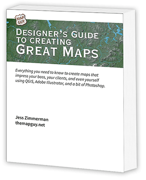
Introducing the
Designer's Guide to Creating Great Maps
Everything you need to know to create maps that impress your boss, your clients, and even yourself using QGIS, Adobe Illustrator, and a bit of Photoshop.
Are you a graphic designer and need to create a map (or maybe several), but don’t know where to begin? Or have you been using stock maps and want something better? This 700+ page Guide will cover every step of map creation, from collecting the data to the final publishable map.
The Guide is organized into four sections:
GIS Basics, which covers:
- GIS data types
- Collecting the data
- Using QGIS and other software
- Map projections
Map Tutorials
- Six tutorials covering basics to more advanced techniques
- City, county, state, country, and world maps
- Links to all tutorial files
Topics
- Lessons on specific topics, including data attributes, labels, roads, type, shaded relief, and georeferencing.
- Creating specialized maps including locator, attraction, and news maps.
- Special techniques including halftone shading, orthographic maps, and design enhancements.
Case Studies
- In-depth walkthroughs of five published maps
All purchases include free lifetime updates.
I will be adding new and updated chapters periodically. These will be automatically sent to all purchasers.

Only $25
Downloadable PDF
Download these free chapters to give it a try.
This is the first Tutorial, for people new to the GIS world.
This chapter creates a map of the Middle East using parchment textures.
What people are saying

I have found your book to be very helpful. I’m fairly new to QGIS with an intermediate level of knowledge of how to use it. Your book fills in the gaps that you can’t get from the more basic YouTube videos…especially with the handling of DEMs and use of expressions to help depict the data you want on the map. Well done.
— Craig
