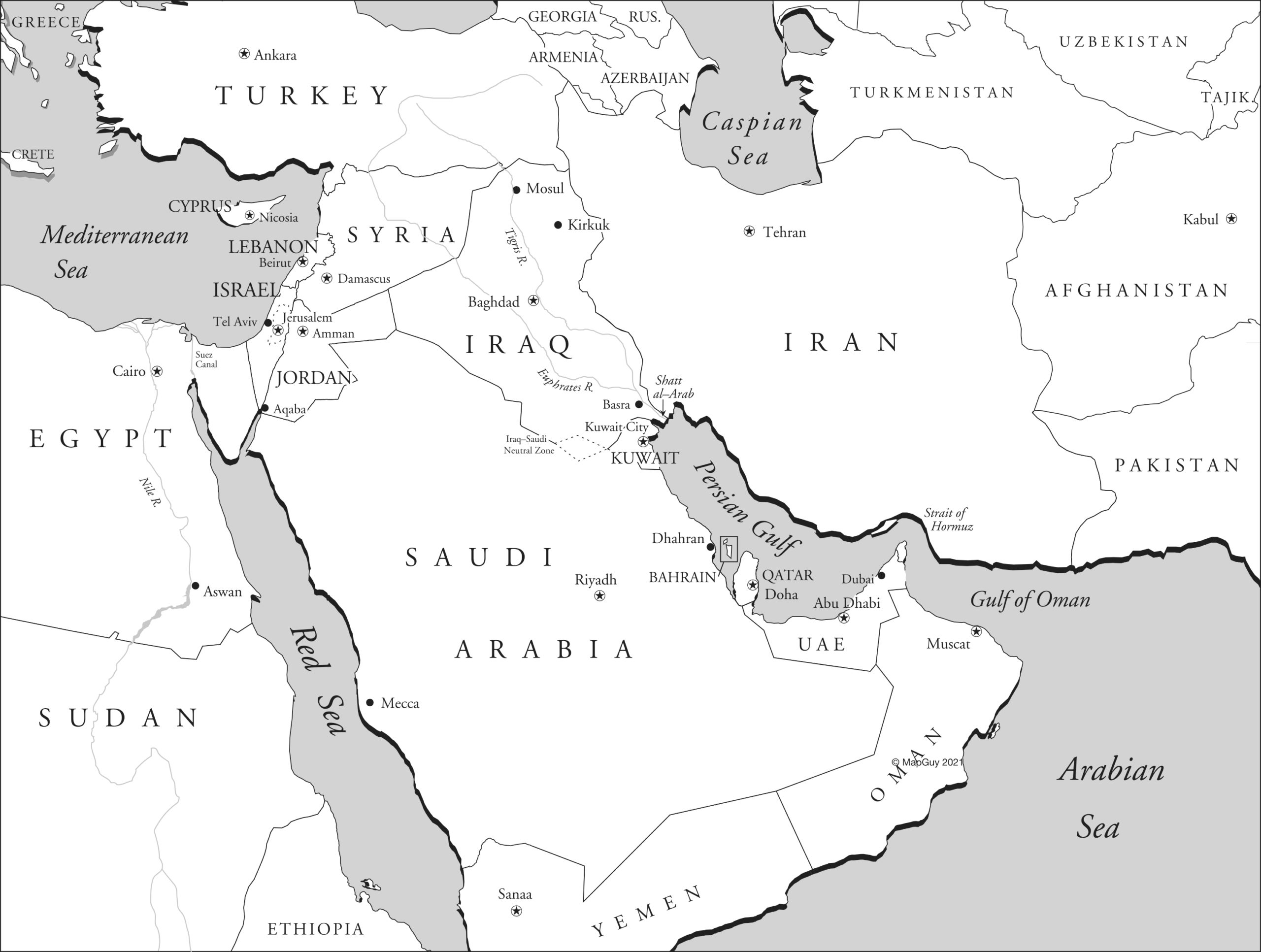
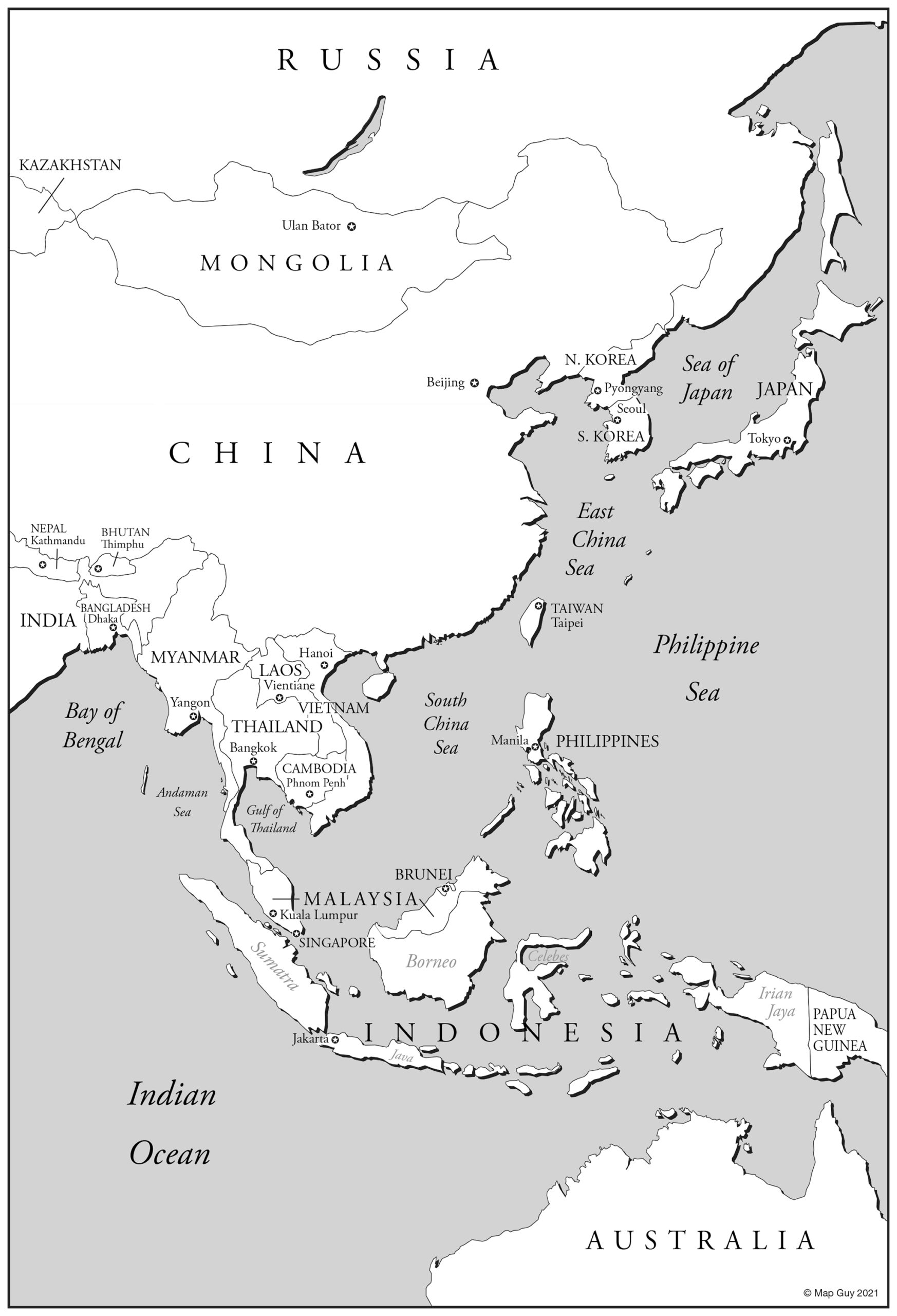
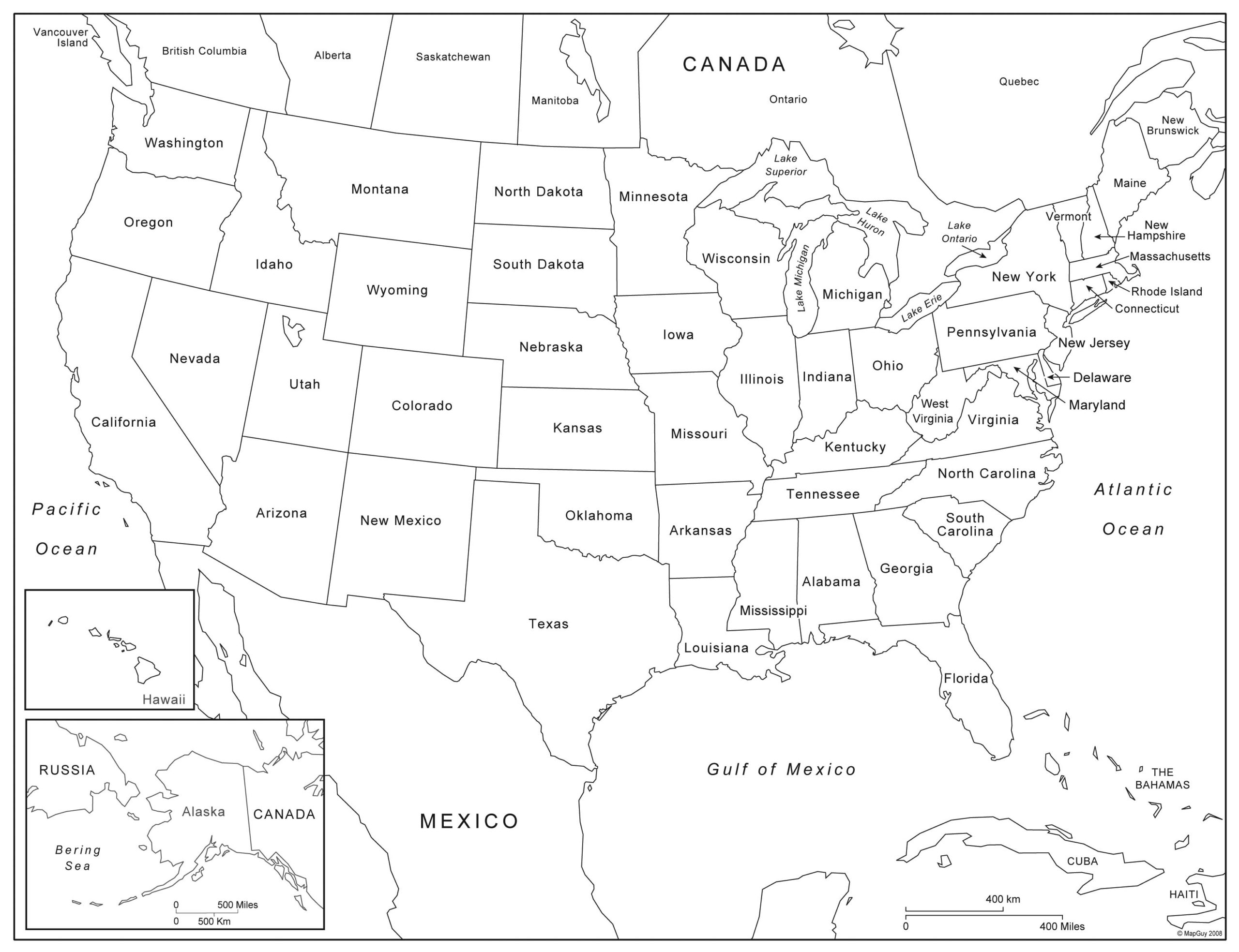
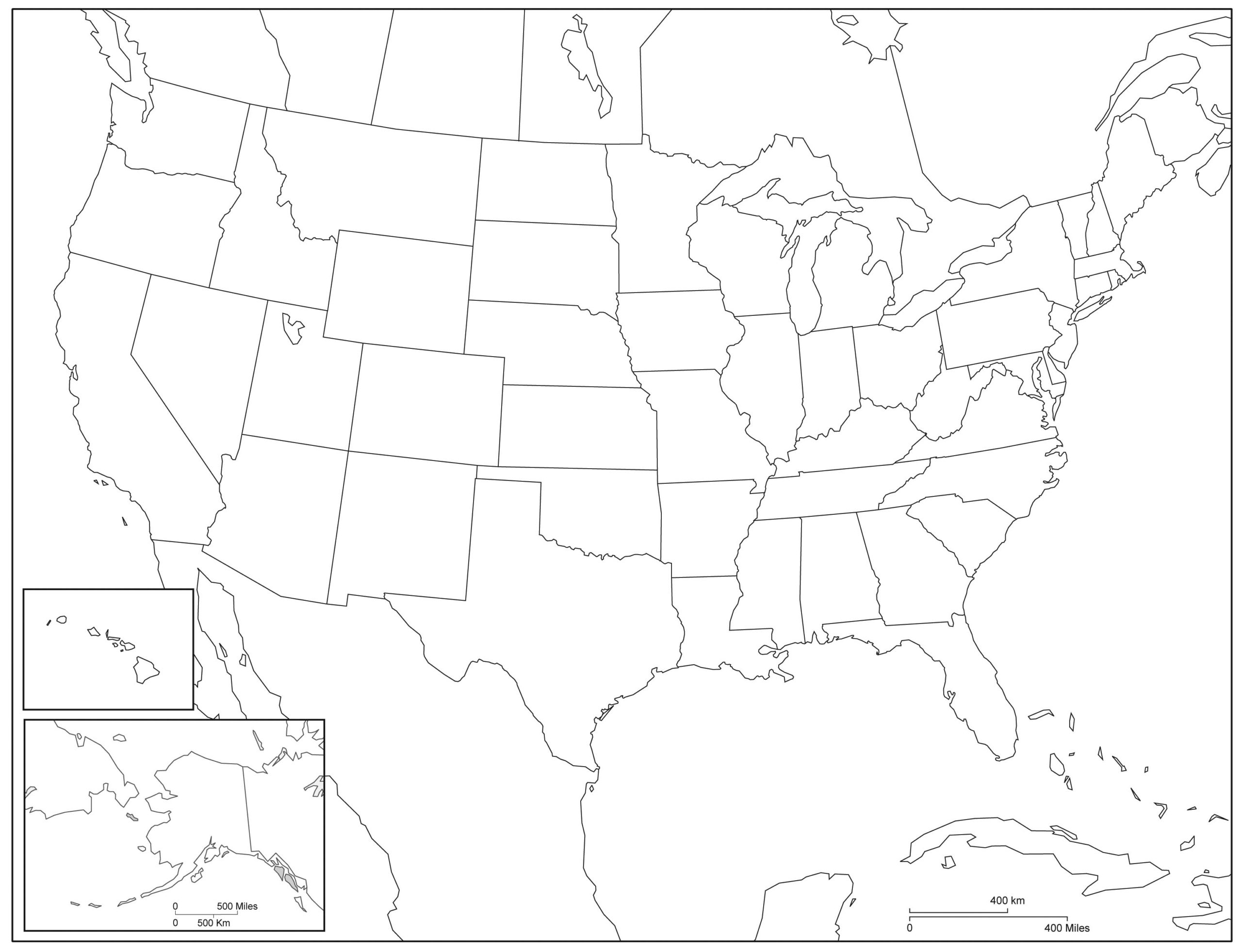
Free Stuff
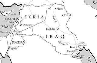
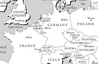
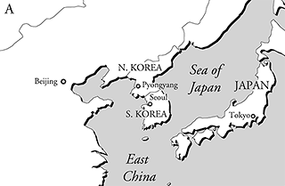
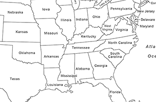
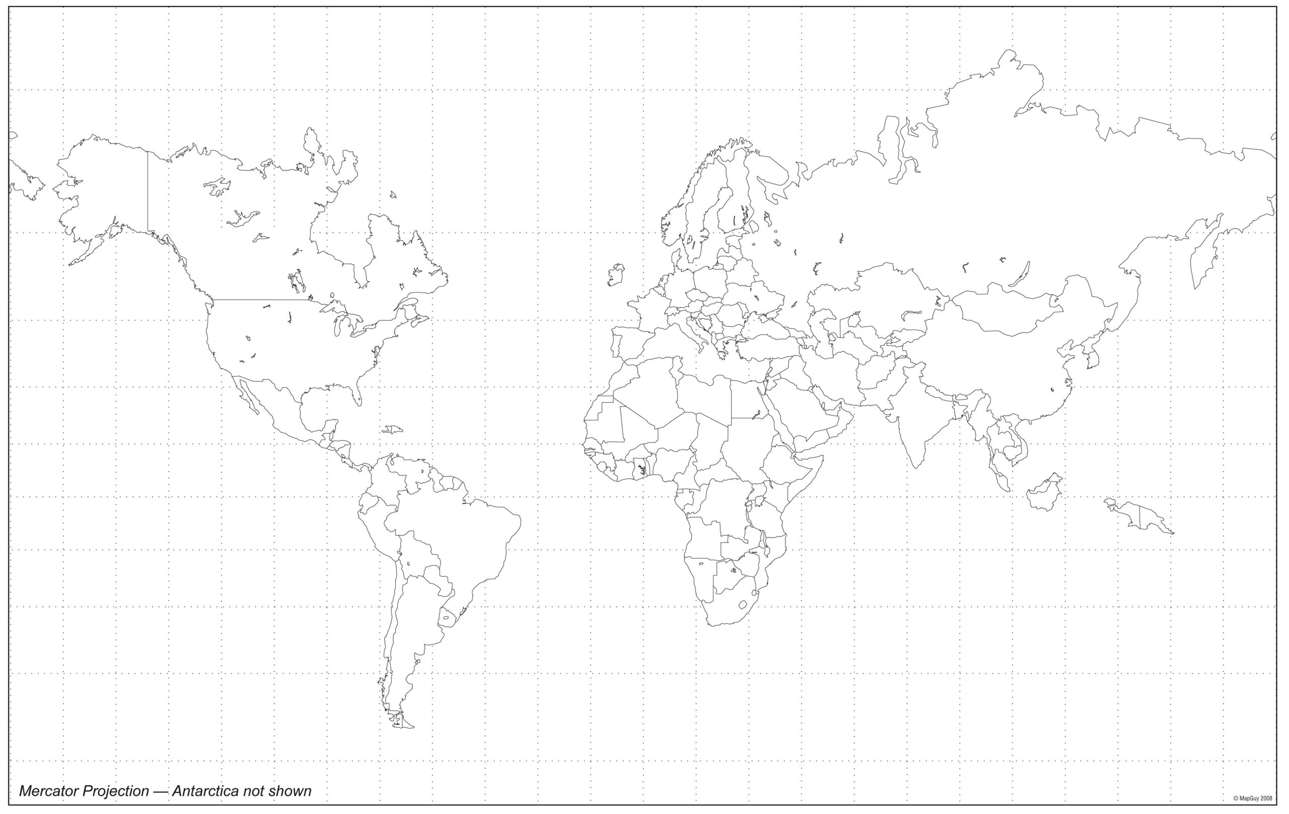
Download these free maps and use them for whatever you want (just don't sell them). The black and white maps are great for classroom use (or if you're into the coloring book thing...).


Free Map Resources
I've created a bunch of resources for designers who need to make maps. Each ZIP download contains two files: a QGIS Project file and a layered Adobe Illustrator file. The state maps contain four layers: state boundary, counties, cities, and primary roads. All are projected with the appropriate State Plane or something suitable.
Use the QGIS files as a starting point for your own maps; just add whatever additional layers you need. If you're in a hurry, or don't feel like learning QGIS, use the Illustrator files. These have the same layer structure. They aren't graphically styled, so that's up to you. These are all free and use publicly available data, so there are no copyright restrictions. Use and distribute as you see fit.
Coming soon (I hope): Designer's Guide to Creating Great Maps ( a free PDF download)...
State maps and data
All 50 States